
- Index
- Brand
- 21st Century Toys (12)
- Alert Line (18)
- Army (10)
- Arsa (10)
- Bolt Action (10)
- Buren (6)
- Did (16)
- Doxa (7)
- Dragon (34)
- Forces Of Valor (26)
- Glycine (8)
- Handmade (45)
- Helvetia (19)
- King & Country (43)
- No Brand (8)
- Royal Best (6)
- Trumpeter (6)
- Ultimate Soldier (11)
- Warlord Games (21)
- Zenith (12)
- Other (3567)
- Character
- Franchise
- Scale
- Series
- Type
- Action Figure (80)
- Badges (13)
- Binoculars (32)
- Boot (12)
- Coat (87)
- Field Gear (161)
- Hat / Cap (51)
- Helmet (19)
- Historical (11)
- Jacket (102)
- Medals & Ribbons (11)
- Personal Gear (74)
- Pocket Watch (11)
- Ring (21)
- Soldier (16)
- Tactical Sling (26)
- Tank (38)
- Uniform (43)
- Uniform / Clothing (119)
- Wristwatch (111)
- Other (2857)
WW2 WWII Original German Palestine Middle East booklet publication 1941 map army
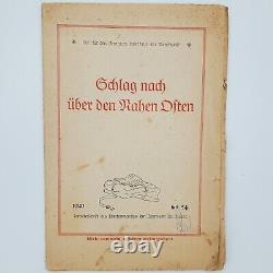
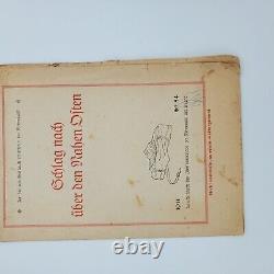


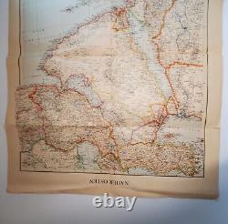
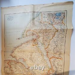
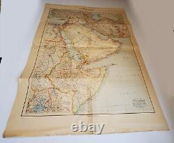
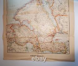

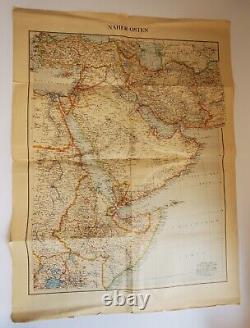

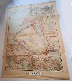


WW2 German Wehrmacht Map of the Middle East. Published in 1941, this map shows Palestine and the surrounding countries.
Small tears and rips, mainly around the edges. Approximately 25 1/4" x 19" open. Approximately 9 1/2" x 6 1/2" folded.
Check out my other WW2 items.

